Africa Gets Bigger, North America And Europe Shrink On Maps
By TodayTelugu Desk1 min read4 views
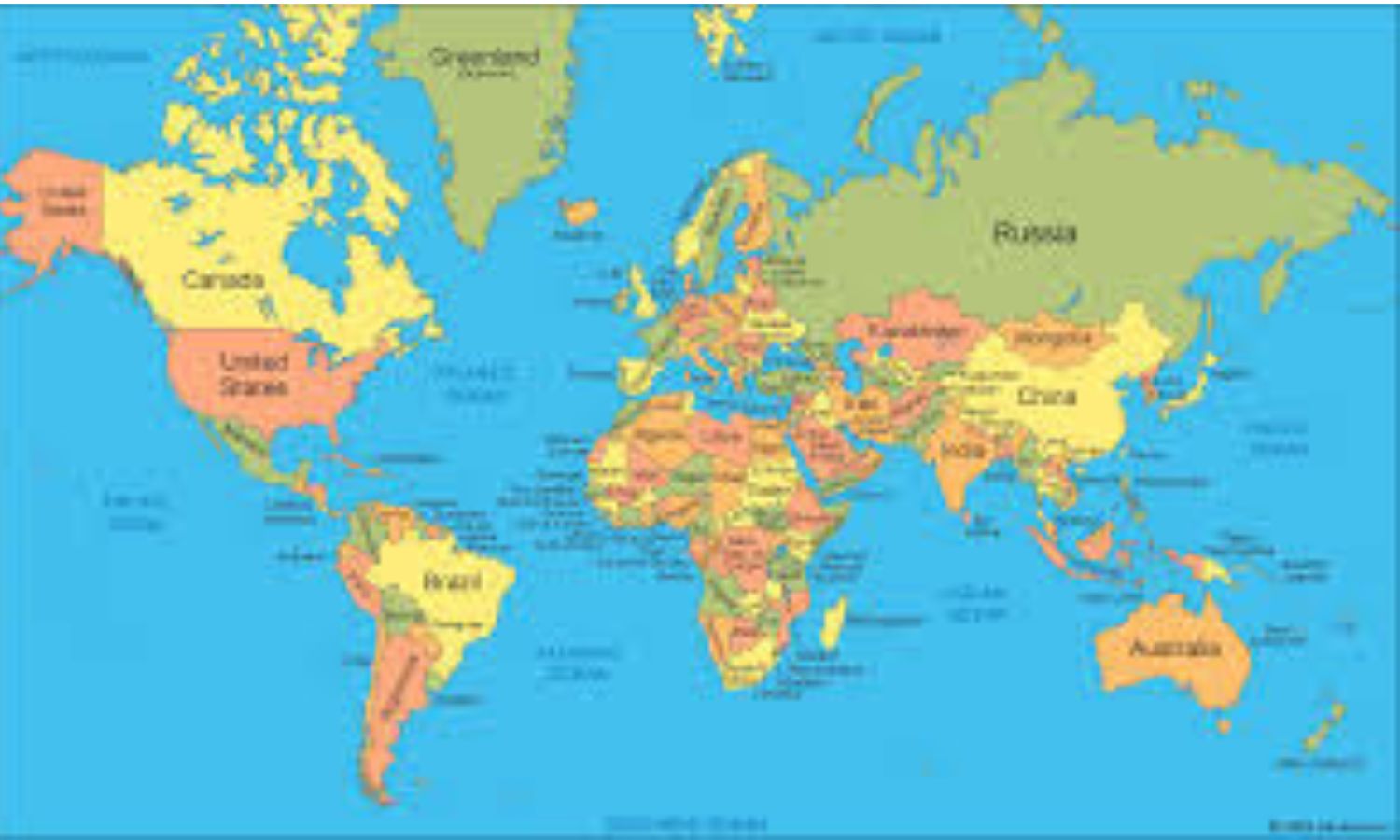
The resolution, 'Correct the map: rebalancing global cartographic representation and promoting equitable representation of the world's regions, particularly Africa', promotes map projections that more accurately reflect the true size of continents. It was the culmination of an African-led campaign against the 16th-century Mercator projection, still the most widely used map in the world
Advertisement
Advertisement
Related News


Comments
Login to leave a comment